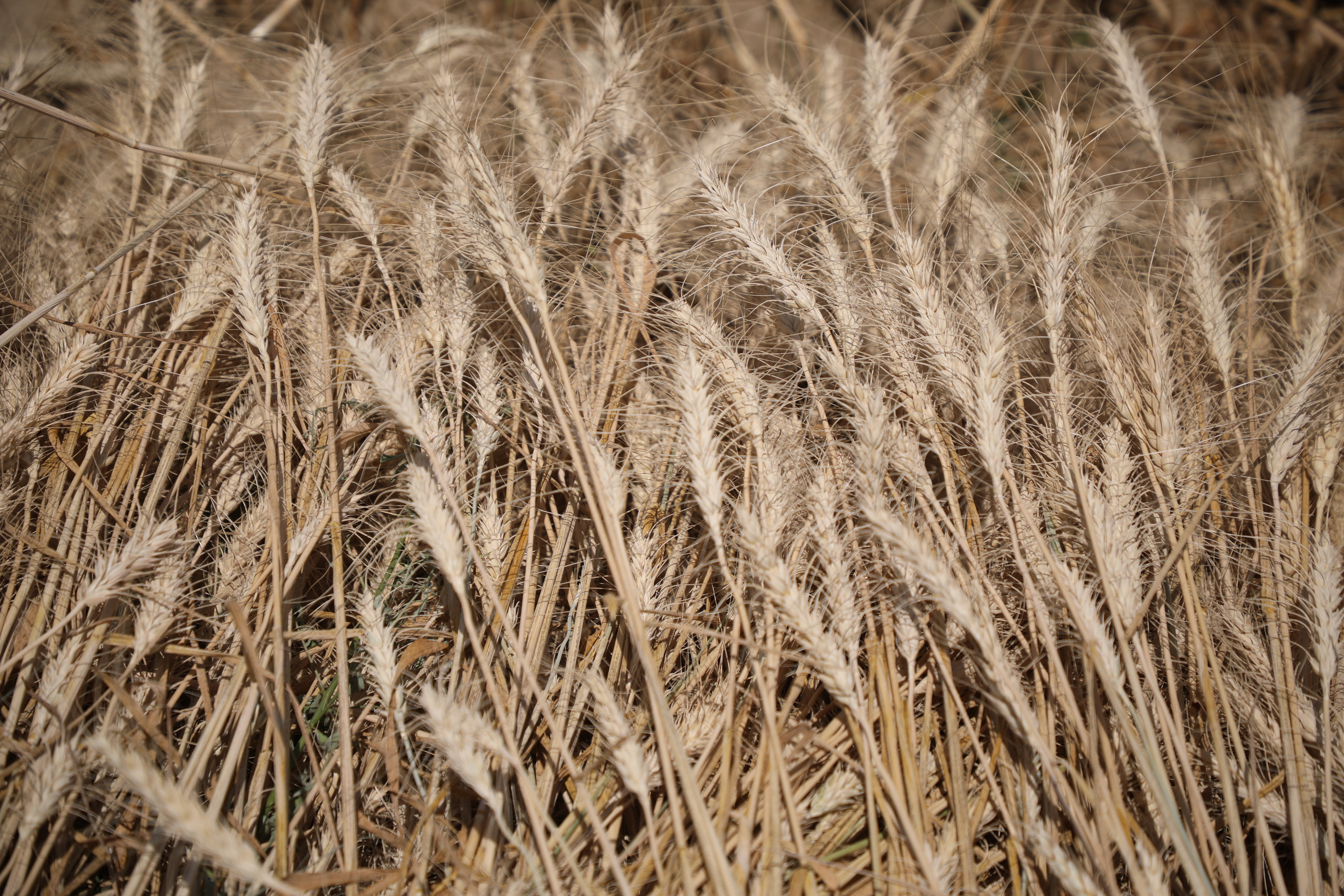
Wheat Yields reached more than 5.1 Million Tons this Year
Joint survey of the Ministry of Agriculture and the National Statistics Office:
Wheat Yields reached more than 5.1 Million Tons this Year
Sunbola 30: September 20,2020
The results of a joint survey by the Ministry of Agriculture, Irrigation and Livestock and the National Bureau of Statistics and Information show that this year, wheat yields have reached 5.1 Million Metric Tons.
Akbar Rostami, Head of Information, Public Relations and Spokesperson of the Ministry of Agriculture, said that out of the total harvest, 4.03 Million Metric Tons of wheat was obtained from irrigated Crops and 1.15 Million Metric Tons of wheat was obtained from rain-fed land. This survey was conducted in 30 provinces, 177 districts and 885 villages.
Mr. Rostami says that last year, according to a joint survey by the Ministry of Agriculture, Irrigation and Livestock, and the National Bureau of Statistics and Information, wheat production was about 4.9 Million Tons, and Yield of this year shows an increase of more than 200,000 Metric Tons.
The reason for the increase in the total production of wheat this year compared to last year was the increase in cultivation areas and the increase in production on rain Farms.
Irrigated wheat fields have increased to 1.61 Million Hectares this year and rain-fed land Wheat fields to 1.05 Million Hectares.
Takhar, Herat, Kandahar, Helmand, Kunduz and Ghazni have produced the highest Wheat this year. respectively. Panjshir, Nuristan, Ghor, Paktia, Nimroz and Kapisa also had the lowest wheat production.
According to the latest survey, Afghanistan has 7.3 Million Hectares of irrigated land, of which 3.4 Million Hectares are cultivated. Of the total arable land, 2.3 Million Hectares are irrigated and about one million are irrigated.
Wheat needs Afghanistan's current population of 32.9 Million is 6.49 Metric Tons this year.
It should be noted that this survey was conducted using Remote Sensing Technology and GIS and by viewing sentinel satellite images with an accuracy of 10 Meters.